
About data, maps and modeling
The Denver Regional Council of Governments produces an array of data, maps and models to support local governments' planning efforts. Visit the Regional Data Catalog for data and maps related to transportation, demographics, housing and employment.
Regional Data Catalog
DRCOG staff manage the Regional Data Catalog as an open data repository. The region's cities, towns, counties and partners use the data to make informed decisions related to mobility, land use and changing demographics.
Community Profiles
DRCOG staff create community profiles for each of its cities, towns and counties using data points from the U.S. Census Bureau's American Community Survey.


Data Modeling
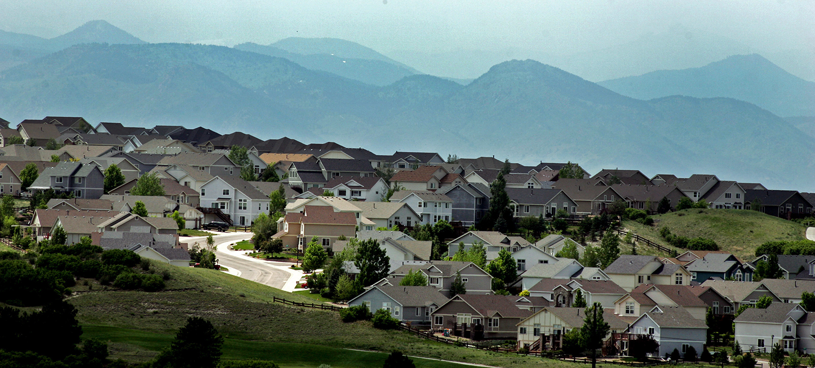
DRCOG staff use travel and land use models to predict how residents and visitors will get around the region and anticipate trends in growth and development.

Denver Regional Data Consortium
The Denver Regional Data Consortium is an open, voluntary group of geographic information systems professionals interested in regionally collaborative data initiatives. It meets quarterly and uses a quarterly newsletter to exchange data, information and ideas.
Regional data acquisition projects
Through data acquisition projects, DRCOG staff help local governments, and other public entities with shared interests, procure regional datasets. Projects include:
What's New? Traffic Signals
Approximately 35 jurisdictions own and operate traffic signals in the Denver region. Find out which city, county, town or state agency is responsible for the ones you use.
